
Deliverable 55, Evaluation report on the decision support tools, evaluation of action, lessons learned and continuation after end of project,
The full report is available in Swedish
Summary
The overall objective of action C8 is to create a decision support tool for optimizing localization and choice of measures at both local- and catchment level scale, in order to increase cost-effectiveness of the implementation of measures.
Nutrient leakage from agricultural land is one of the largest sources of eutrophication in surface water and much more difficult to remidiate than what comes from point sources. One of the reasons for this is that a large part of the leakage occurs from small areas that can be difficult to identify and for short periods. It is usually called the 80-20 principle: 80 percent of the leakage comes from 20 percent of the agricultural area during 20 percent of the time. If you succeed in identifying these areas, you have a much greater opportunity to locate measures where they are most useful, and if you succeed in measuring at the episodes when most of the nutrient transport takes place in watercourses, you have a greater opportunity to make correct quantifications of the leak. has had an effect. This project aims to develop user-friendly tools that identify so-called hot-spots for nutrient leakage and to investigate the possibilities of using sensors out in the watercourses that measure continuously to monitor the effect of the measures.
In lakes and watercourses and to a large extent also in the Baltic Sea, it is mainly phosphorus that is the cause of eutrophication. This project therefore aims to produce a basis for measures to reduce phosphorus leakage. Phosphorus can leak either in loose form as phosphate, or bound to particles. It has previously been difficult to identify hotspots for both of these forms, but new research and new data have now made it possible to do so with much greater precision than before.
The risk of leakage of dissolved phosphorus is greatest from sandy soils and where the amount of readily available phosphorus is high. In this project, we develop a tool that calculates the risk of leakage from different soils with soil mapping data.
Analyzes of soil samples showed that an extended ordinary soil mapping where the iron and aluminum content is also analyzed can be used well to estimate easily soluble phosphorus.
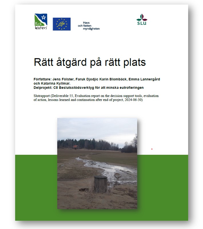
Particular phosphorus leaks instead from clay soils where surface erosion can easily occur where the water collects after rain and when snow melts. Here we develop tools based on high resolution digital terrain maps to identify risk areas for erosion to guide the location of mitigation measures. The maps can also be used to optimize the location of dams and wetlands for nutrient retention.
The use of sensors in water quality monitoring will be evaluated to improve the follow up of measures against nutrient leakage from agricultural soils.
In the last phase of the project, we will develop training materials and checklists so that users can assess how and when to use the data and also when not to use it.